| Distance: | 103 Miles | |
| Moving Time: | 11 hours 29 minutes | |
| Max Speed: | 36.5 MPH | |
| Moving Average: | 9.0 MPH |
This started out to be a ride from home to Palomar Mountain and back. I planned to make the first night camp at La Jolla Indian Reservation Campground then the next night I would stay at Fry Creek Campground on Palomar Mountain, then home on Sunday.
I was so exhausted by the time I reached La Jolla Campground Friday night, I was already calculating how I was going to modify the route, while I was setting up camp for the night.
Here’s a little review of my trip. My first extended tour completely alone and self supported. It was a weekend adventure.
Clik here to view.
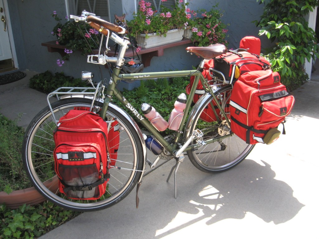
Bike packed and ready to roll
I weighed everything just before I left. Me, the bike, two full water bottles and a 110 oz. Camelback, everything I was carrying on my person, food for three days, tent, sleeping bag, pillow, and cook kit. Total weight of me, my bike and all my gear was 299.5 pounds. That’s a lot of mass to get moving! Image may be NSFW.
Clik here to view.
Clik here to view.
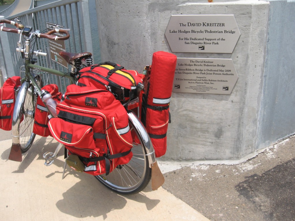
David Kreitzer Lake Hodges Bicycle/Pedestrian Bridge Monument
Leaving Poway, as I headed north I crossed Lake Hodges on the David Kreitzer Lake Hodges Bicycle/Pedestrian Bridge. It’s a nicer way to get across the lake than riding the freeway, though I’ve ridden the freeway shoulder for years.
Clik here to view.
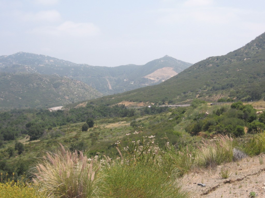
First long climb of the day
This shot was taken at the top of the climb from Escondido to Valley Center. I estimate it’s about 800 foot of climb. Nice views at the top, looking back at Escondido. It’s not a very steep grade, but it is really long.
Clik here to view.
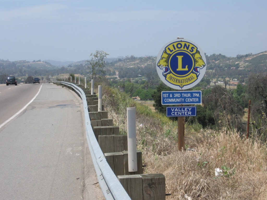
Valley Center from the summit
Then I saw Valley Center in front of me. I’m headed for the opposite side of the valley.
Clik here to view.
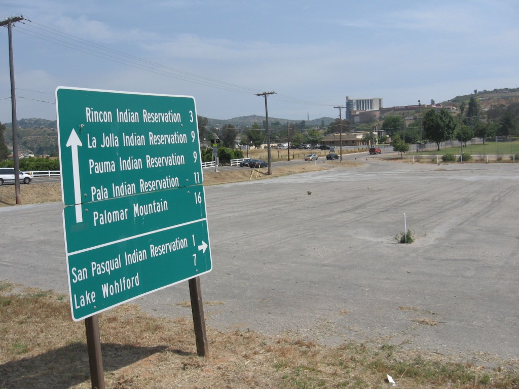
Which Casino are you looking for?
Where Valley Center Road meets North Lake Wohlford Road this sign directs you to the various reservations in the valley to the North. In the distance you can see the Valley View Casino. It looks somewhat out of place in this mostly agricultural area. The distances are deceiving for a cyclist. It may only be 16 miles to Palomar Mountain, but it’s almost all uphill.
Clik here to view.
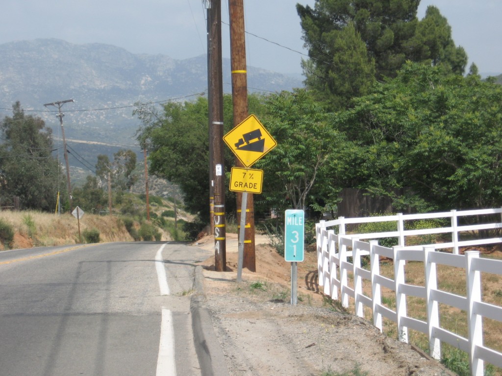
It's all down hill from here.
Don’t I wish it was all down hill from here! This was a somewhat long relatively steep downhill. It’s definitely long coming the other direction. There are definitely some uphill rides in my future. The bike is steady as a rock even at 35+ MPH. Image may be NSFW.
Clik here to view.
Clik here to view.
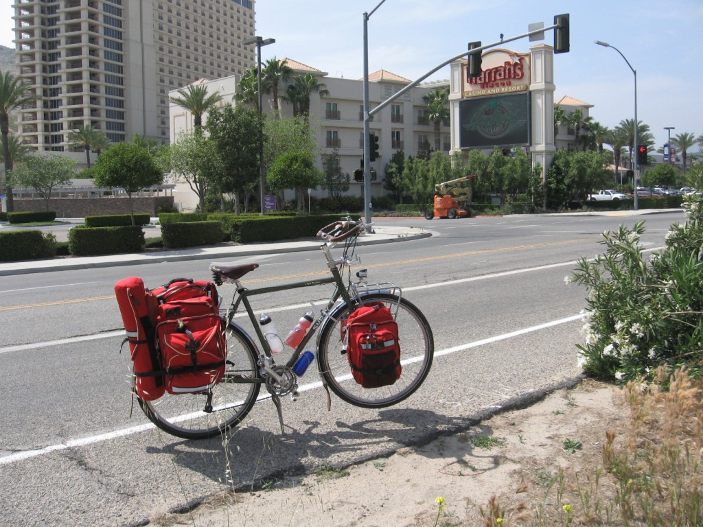
Another Casino
After the long downhill is another casino, this one is Harrah’s Rincon Resort and Casino. Traffic is pretty steady around the casinos. And some of those people sure seem to be in a big hurry to go lose their money. Image may be NSFW.
Clik here to view.
Haven’t seen Frigid for a while. Maybe he’s been mad at me, he really didn’t have much to say. I just looked and there he was hanging out in my rear pannier. Maybe we can get some of his impressions of the ride, later.
Clik here to view.
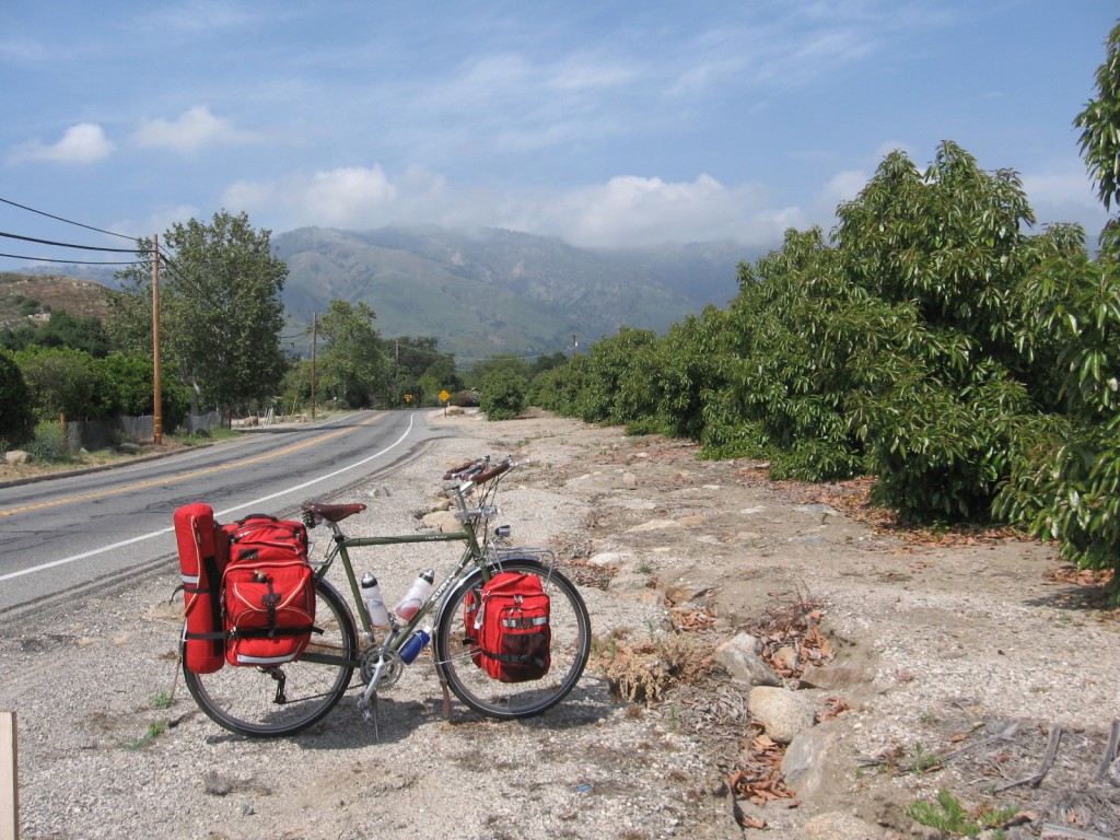
First good look at Palomar
As I said, this is mostly an agricultural area, with a lot of orchards. Here I got a good shot of Palomar to the North. Some of the hardest climbing is still ahead. Before I reached the campgrounds I rode nearly half way up the side of Palomar Mountain along the San Luis Rey river.
Clik here to view.
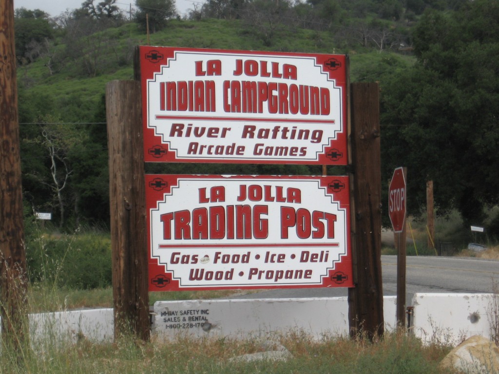
La Jolla Indian Campground
Nice friendly people at the campground. If you go, it’s good to know no pets are allowed. I’m certain this is to protect the river. Pretty nice facility and pretty popular based upon the number of people I saw camping.
Camping is right next to the river. One nice thing about it is you can hardly hear anyone else over the gurgling and splashing of the river. Makes for good sleeping.
Clik here to view.
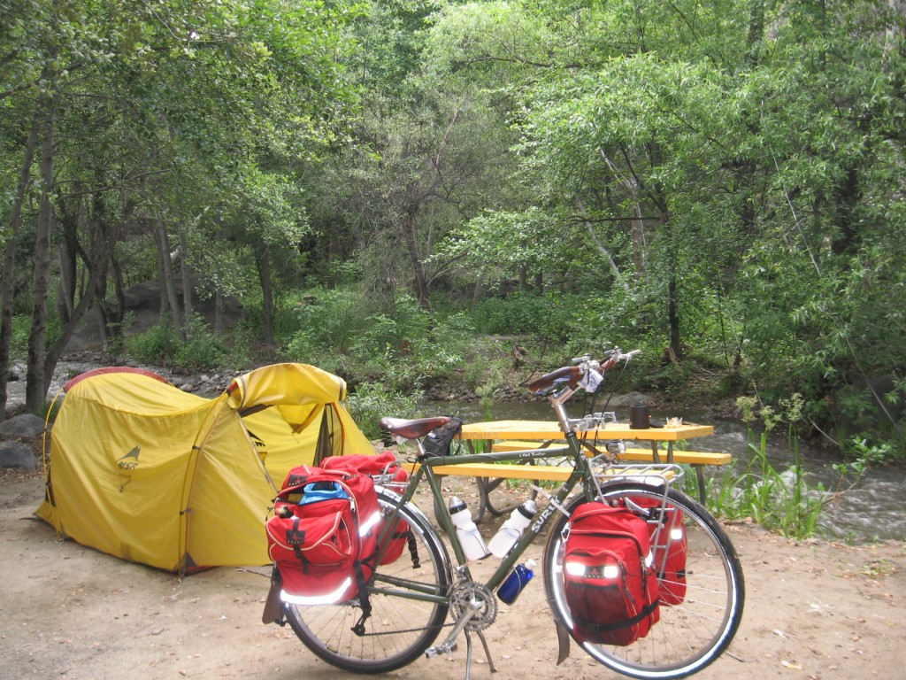
Morning at La Jolla Indian Campground
The downside of camping next to the river is that everything is a little damp when you get up in the morning. Tent was damp, and even my sleeping bag was a little damp. Have to dry them off at the next campground.
Here’s a map of the route.
Clik here to view.
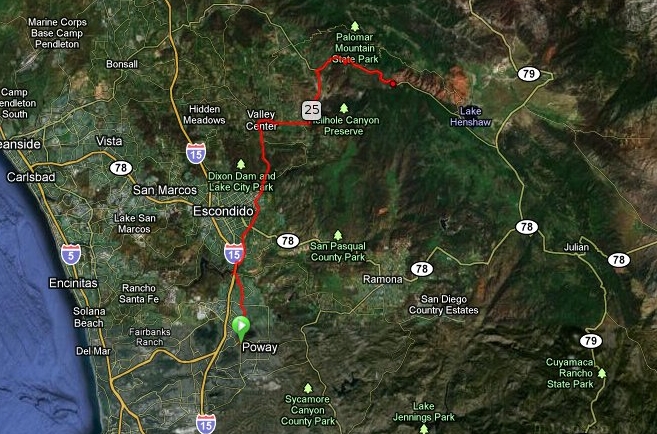
Satellite Map Poway to La Jolla Reservation Campground
You can tell by this elevation profile that this ride just kept getting tougher as I rode along.
Clik here to view.

Elevation profile Poway to La Jolla Reservation Campground
Estimate Elevation Change: + 3918 / – 2263 Feet
This was one of the toughest days of riding I’ve ever done. I’m not sure if it’s the extra weight of a fully loaded touring bike, or just that I seldom climb 4,000 feet in 40 miles on a ride. I saw some racer type riders coming down the mountain as I was going up and they were rolling along quite fast. I imagine it was quite a thrill. I would have to wait a little while before I got a downhill ride.
Clik here to view.
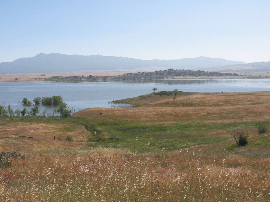
Lake Henshaw
Saturday I was on the road a little after 8:00 AM. The traffic on Highway 76 was light, and I stayed in the lane for better site lines and to be better seen. Most people were courteous and I tried to veer right as they approached if it was safe for them to pass. Some people still think that because they own a two ton automobile, they have special rights on the road, that supersede mine. Fortunately they are the minority.
Clik here to view.
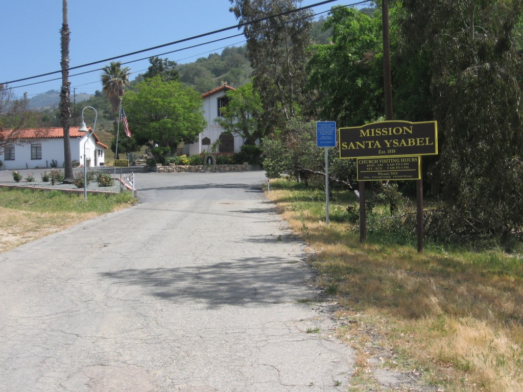
Mission Santa Ysabel
I’ve passed this Mission many times over the years, but I never stopped to look. One a bike, it seems more convenient to stop and look around. I guess it’s traveling at 9 mph that make you feel more relaxed about time. I’m sure not racing anyone. I was passed on Highway 79 by three riders on race type bike with full race kit. Don’t know where they came from or where they were going, but they were riding their ride and I was riding mine. And we were all having fun!
Clik here to view.
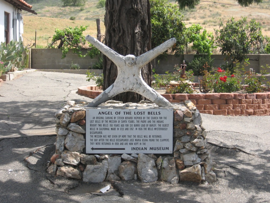
Angel of the lost bells
Interesting and sad story about the bells. They would be the oldest bells in California, made in 1723 and 1767. But in 1926 the bells “mysteriously disappeared”. Only the clappers were found and returned.
Clik here to view.
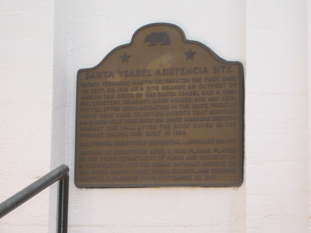
Historical Landmark
The Mission is a designated Historical Landmark. I didn’t stop to look but I wouldn’t be suprised if there were some interesting headstones in the cemetery.
Clik here to view.
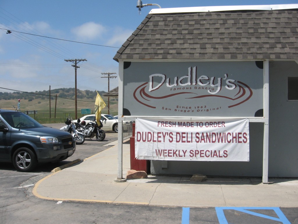
World Famous Dudley's Bakery
I can hardly make a trip through Santa Ysabel without stopping at Dudley’s Bakery. My favorites are the fruit bars with raisins ginger and molasses. Great energy food if your pedaling your bike. I ate about three and two pints of chocolate milk, before I got back on the road.
Clik here to view.
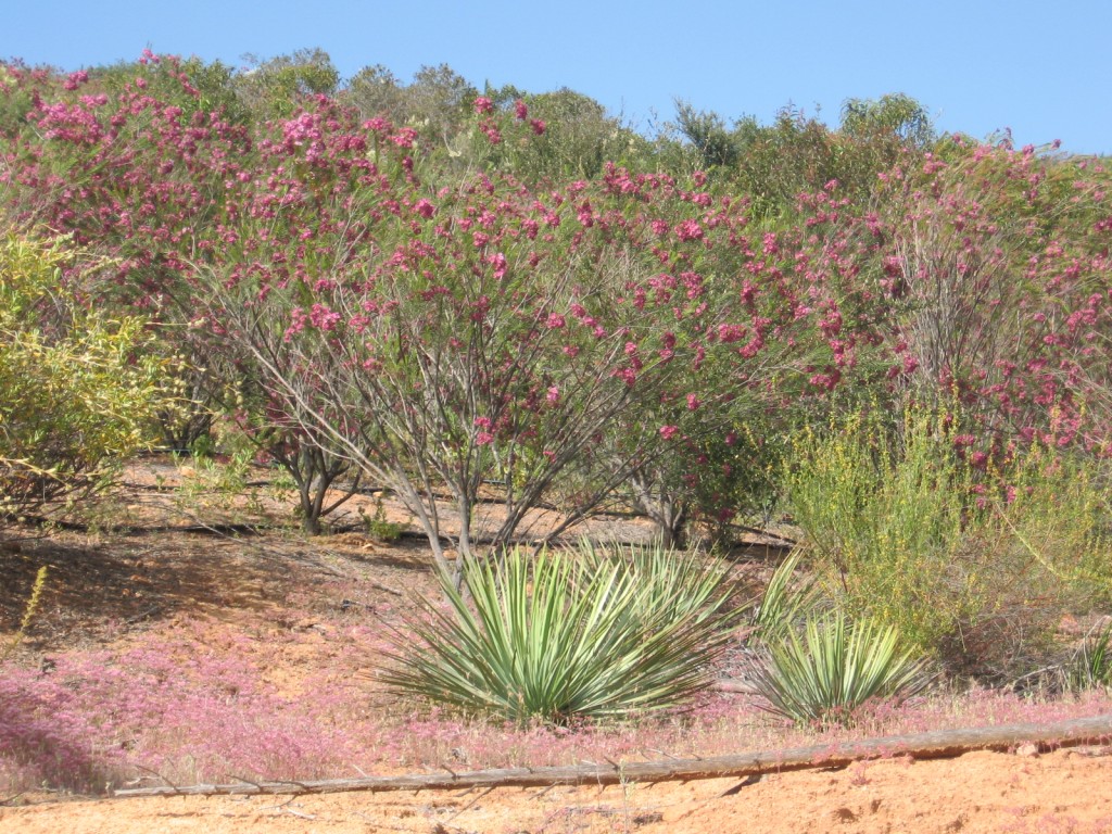
Wildflowers in bloom
This picture was taken a little way up the road from Dos Picos Park. I don’t recognize the bushes with red flowers. They appear to be natives, but I’ve never noticed them before.
Clik here to view.
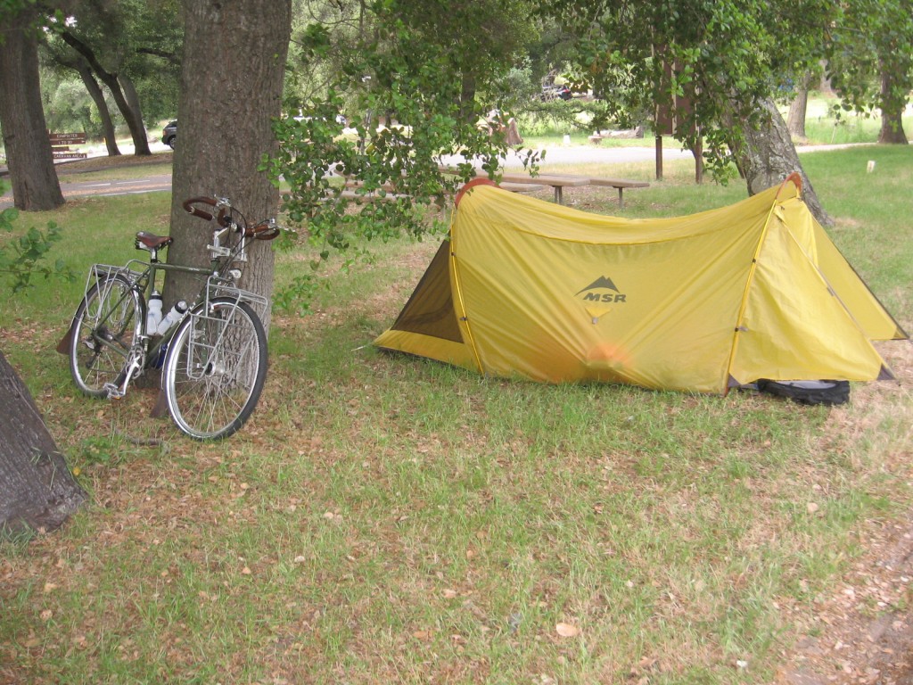
Saturday Morning in Dos Picos Park Ramona
When I arrived at Dos Picos Park there was a sign at the Ranger’s desk that said they were full. The Ranger said they always have room for hiker / bikers. He mentioned that the item, hiker / biker spot, had been removed from their computer so they had to get creative to charge me. Just five dollars, what a bargain. I was only about fifty feet or so from the Ranger’s station right by the entrance. It felt a little like being on stage.
Look Mom, what is that guy doing? He’s a rare species of human known as a Bicycle Tourist Susy. He rides his bike to and fro camping here and there. Is he a hobo Mom? Close Susy.
I did get a great view of the goings on. There was a group I surmised to be the Y-Indian Princesses having a camp-out. They had a carnival going, when I first arrived. And there were contests for bicycle decorating and just a lot of fun events, for pre-teen girls to do with their fathers. Everyone seemed to be having a great time. Someone taught the boys and girls to stick a plastic water bottle between the frame and tire to make this annoying noise, the the kids really loved.
I didn’t know when I set up camp there is an owl box about 40-50 feet overhead. All night long I could hear the chicks crying out for mom to bring them more food, and mom click-click-clicking as she flew around searching for food. I spoke to one of the rangers and he said that there are about half a dozen owl boxes throughout the park. That probably helps keep the rodent population down.
Clik here to view.
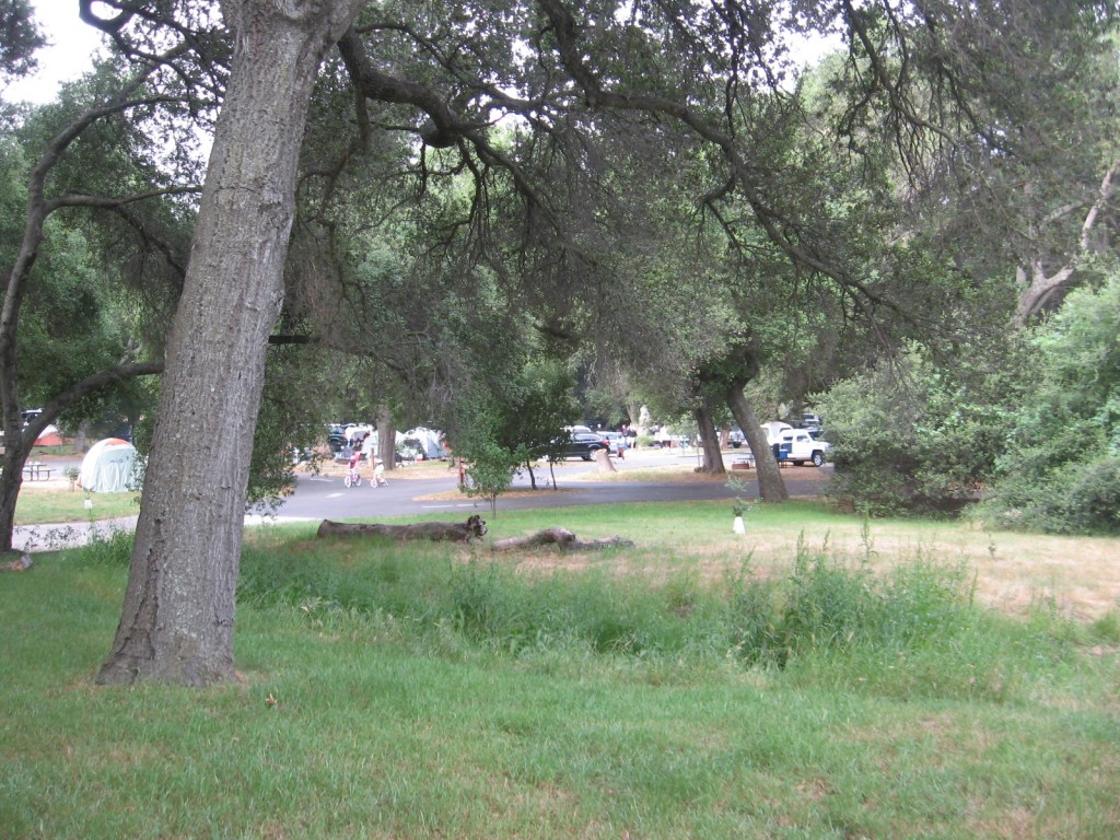
The Park was full of Y-Indian Princesses and their fathers
Clik here to view.
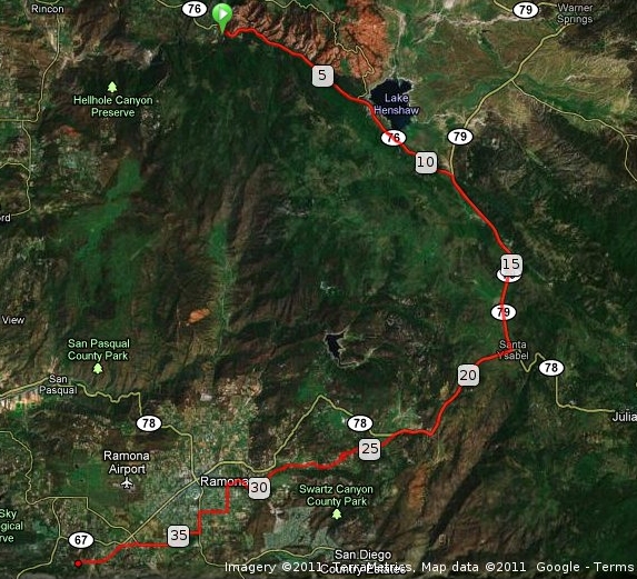
Satellite Map of La Jolla Campground to Dos Picos Park
This wasn’t as much of a challenge as Friday, but it still covered some miles and I peaked at over 3,000 feet during the ride. Not super high altitude, but when you’re hauling camping gear and food along, it can be a challenge.
Clik here to view.

Elevation Profile La Jolla Reservation Campground to Dos Picos Park
Estimated Elevation Change: + 1971 / – 2645 ft
Sunday morning after I broke camp I headed for home. Rather than taking the highway and deal with the traffic, I chose to go down Highland Valley Road. I usually ride it from the other direction, and did pass one rider coming up. It’s challenging in both directions. Lots of short steep hills and rollers. Always a challenge, but more so at the end of a three day trek.
Clik here to view.
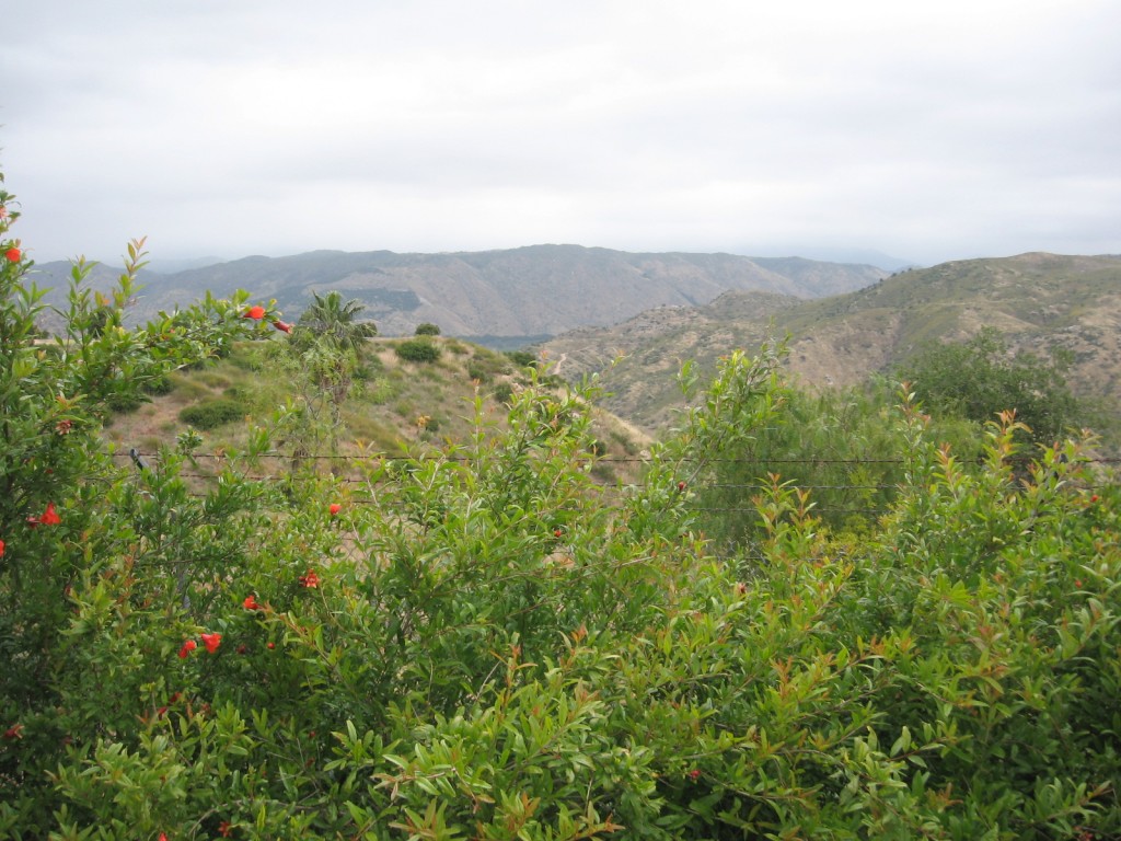
San Pasqual Valley overlook from Highland Valley Road
One of the great things about Highland Valley Road are the vistas. It is definitely a picturesque area to ride, if you’re up for the challenges.
Clik here to view.
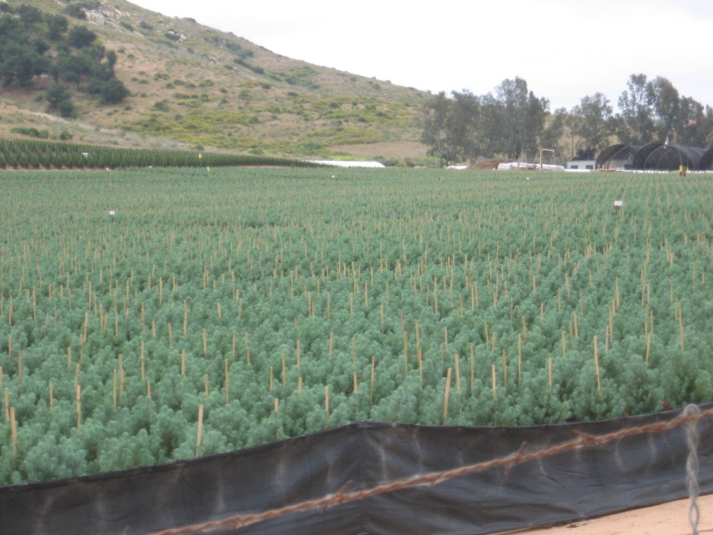
Baby Christmas Trees
Evergreen Nursery seem to be busy acquiring farms along the San Pasqual Valley on the south side of the road. The north side seems to be mostly Open Space Preserve.
Clik here to view.
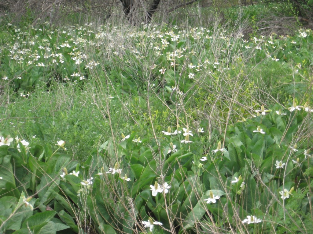
Water Plants in Opens Space Preserve
Estimated altitude change: + 980 / – 1944 ft
The Sunday morning ride home was much easier than the previous two days. A good way to end a three day adventure into the back country of San Diego County.
Clik here to view.
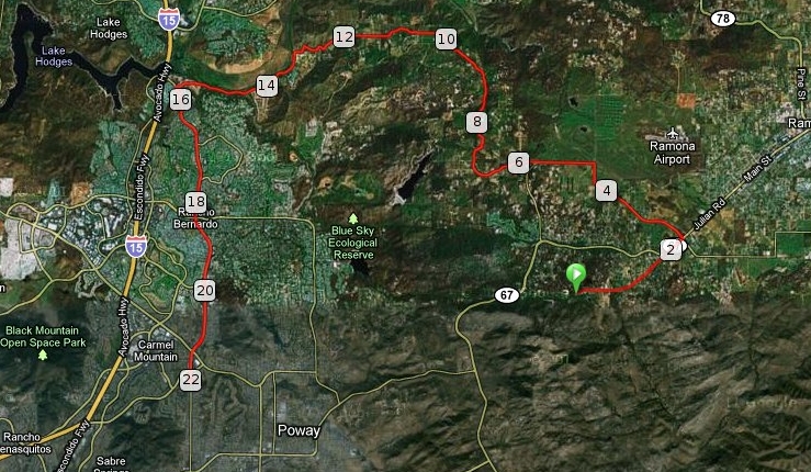
Ramona To Poway Satellite Map
Clik here to view.

Elevation Profile Ramona to Poway
I had a great adventure, even though there were times when I questioned my sanity. I look forward to more camping trips this summer, if time allows.
Always remember, keep the shiny side up and the rubber side down!


